 EN
ENThe Rifugio Guide della Valle d’Ayas located in the large basin of the Verra glacier (Monte Rosa massif) at 3240 m.s.l. it can be reached on foot or on skis starting from St. Jacques (Val d’Ayas), Breuil Cervinia (Valtournenche) and Zermatt (Switzerland)
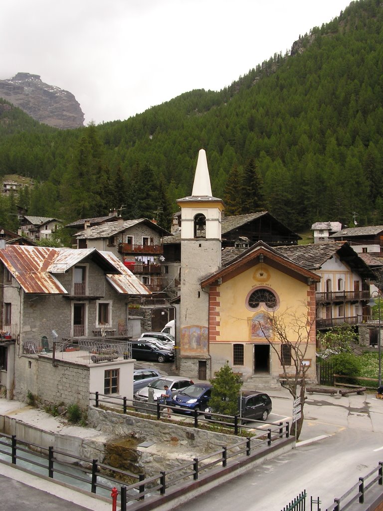
Saint Jacques – Val d’Ayas
HIKING / MOUNTAINEERING ITINERARY
From Saint Jacques (1675 m) where you leave the car, continue for a few more minutes and you will reach the hamlet of Blanchard. From here, following the signs, take path 7 which crosses the plain of Verra Inferiore and Superiore and reaches the moraine that leads to the O. Mezzalama Refuge (3036 m).
From here you continue on a medium difficulty mountaineering path, you reach the Verra glacier which you cross to the right and then reach a stony ground with a path, partly aided, that leads to the refuge. The travel time is approximately 5 hours.
It is possible to use the JEEP service up to Pian di Verra Superiore (mt. 2380) from where you can reach the refuge in about 3 hours:
La Carrozza
tel. 0125.308778 – 335.6626748
taxi.lacarrozza@libero.it
Famiglia Viot
tel. 347.2775187 – 340.3490204
Breuil Cervinia – Valtournenche
ALPINE ITINERARY
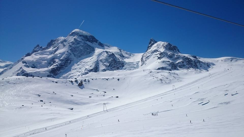
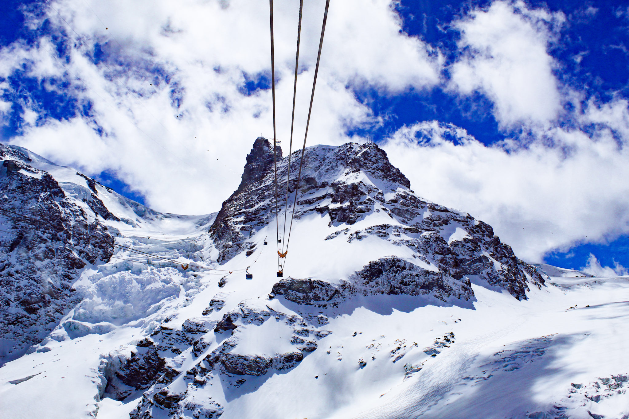
From Breuil Cervinia with the lifts you can reach Plateau Rosa (3480 m). From there, through Colle Breithorn (3826 m), descend from Passo di Verra to reach the Refuge.
The travel time from Plateau Rosa is approximately 4 hours.
Zermatt – Swiss
ALPINE ITINERARY
From Zermatt, with the lifts you can reach the Piccolo Cervino (3886 m). From there, across the Breithorn pass (3826 m), you descend from Passo di Verra to reach the refuge.
The travel time from the Piccolo Cervino is about 2 hours and 30 minutes.